Introducing The Map Explorer
This powerful new tool has been developed with geo-referenced historic maps overlaid over several modern background maps including Ordnance Survey, Open Street Map and satellite images.


The panel on the left of the Map Explorer™ includes many different tools, such as a Modern and Historic Place Search, County and Parish Boundary Indicators, and the ability to manipulate the map layers.
Family and house historians are therefore able to see where an ancestor’s land plot was throughout the eras, even when the landscape has completely changed over the years.
Map Layers
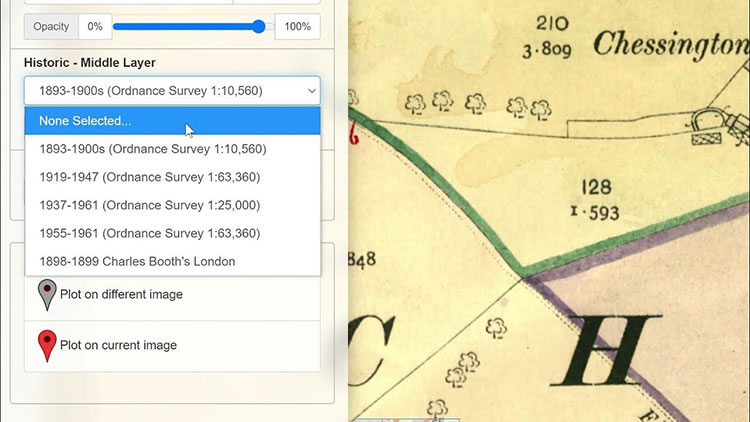
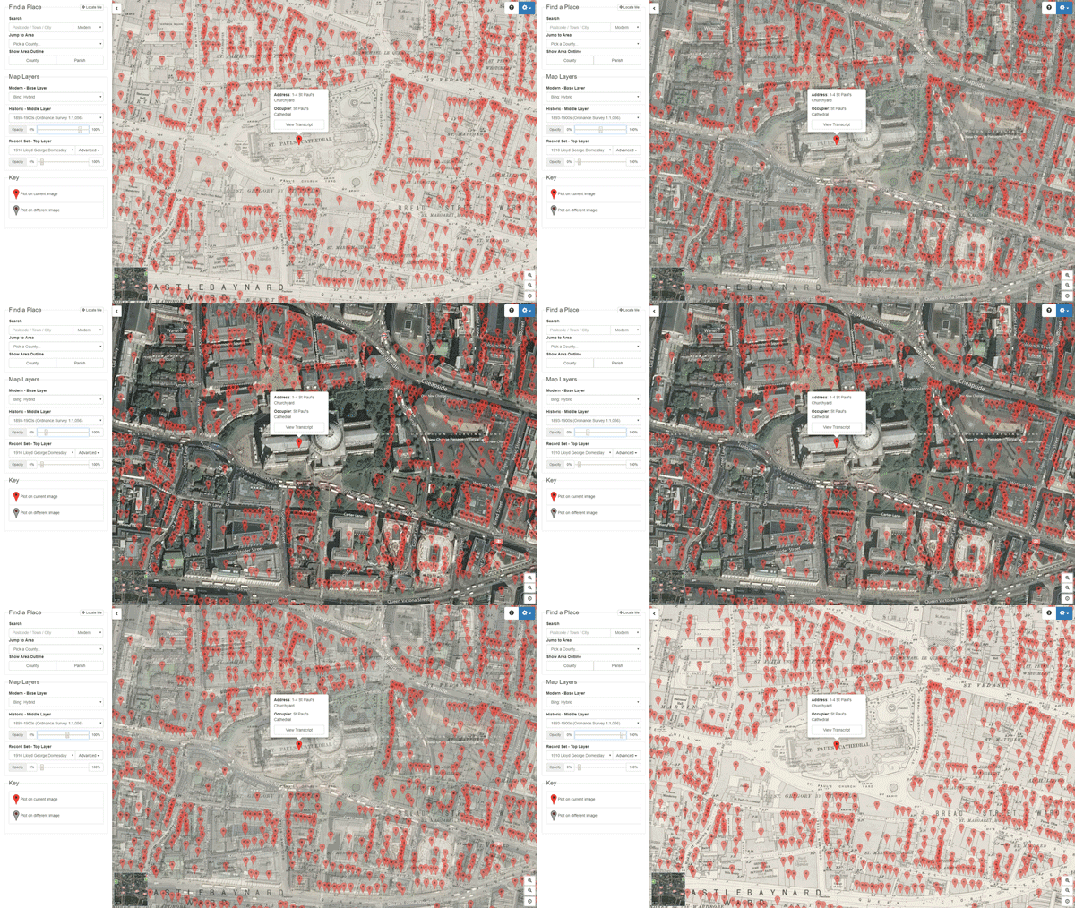
Maps have been divided up into 3 types of layer that can be viewed on top of each other like sheets of paper. You can then change the transparency of a layer to view the layers below allowing you to see how the area changed over time.
The Base Layer
This is the modern layer, which can be used to select a modern OS Map, Open Street Map or a Bing Satellite Image.
The Historic Layer
The historic layer can be used to select a range of OS maps from the 1890’s to the 1960’s
Record Set Layer
This layer provides access to map record sets that partner with related maps.
The record sets include the Tithe Maps and Records, Lloyd George Domesday land tax records, the UK census 1871-1911, the 1939 Register, the Headstone Collection, War Memorials and the Image Archive. Even the original records of 1086 Domesday Book can be shown. Keep an eye out as further record sets are added to this layer in the future.
Putting Your Ancestors On The Map
Record Set Layers have the ability to show “Pins”. These are map markers which link directly to the records, and so allow you to see who was living in a particular property.
This powerful genealogical research facility, to view the maps and residential data, gives those family historians who want to investigate where their ancestors lived, an excellent tool.
Map Explorer™ is available to all Diamond Subscribers .
To experience the Map Explorer today, why not try our 14 Day Free Trial?

