
Created by the government, in a period from 1837 to the early 1850s, Tithe records were the result of a very comprehensive survey into the usage, ownership and occupation of land in England and Wales. With a single click the apportionment schedules are linked to accompanying maps that cover all levels of Victorian society and reveal the names of both the owners and the occupiers of land at this time. As the collection describes the land use of each plot, these documents can reveal ancestors’ arable fields, orchards, woods and even houses and gardens in urban areas.
Read our full Featured Article about Tithe Maps here.

Search the tithe records online!
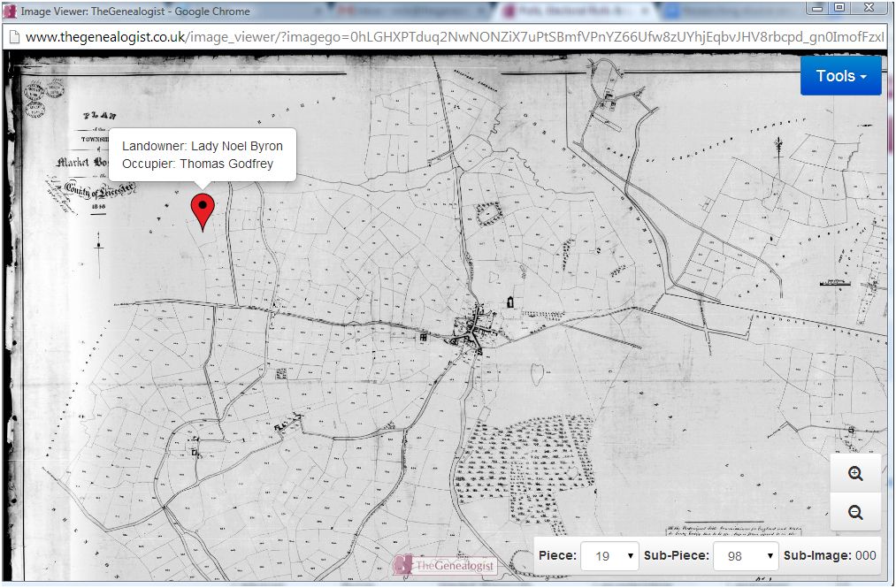
You can use the search form below to find tithe records. If you wish to look for a place rather than a person, simply leave the forename and surname fields blank. You can enter a parish, county or piece reference (e.g. IR 29/01/01) to search for a record. For each record found, you will have the option of viewing the transcript, the original apportionment image or an image of the map for that parish. When you click the map icon to view the apportionment map, the viewer will automatically jump to the plot for the specific record you clicked on. You can then use your mouse wheel or pinch to zoom out to see the whole map. On the bottom right hand corner of the map page, you can browse further tithe maps by selecting piece and item numbers (the same as The National Archives Discovery reference) from the drop down boxes ‘piece’ and ‘sub-piece’. Where maps have altered apportionments there is also a drop-down box (next to the piece and sub-piece boxes) to select the various additional maps.

